* Astronomy

| Post Info |
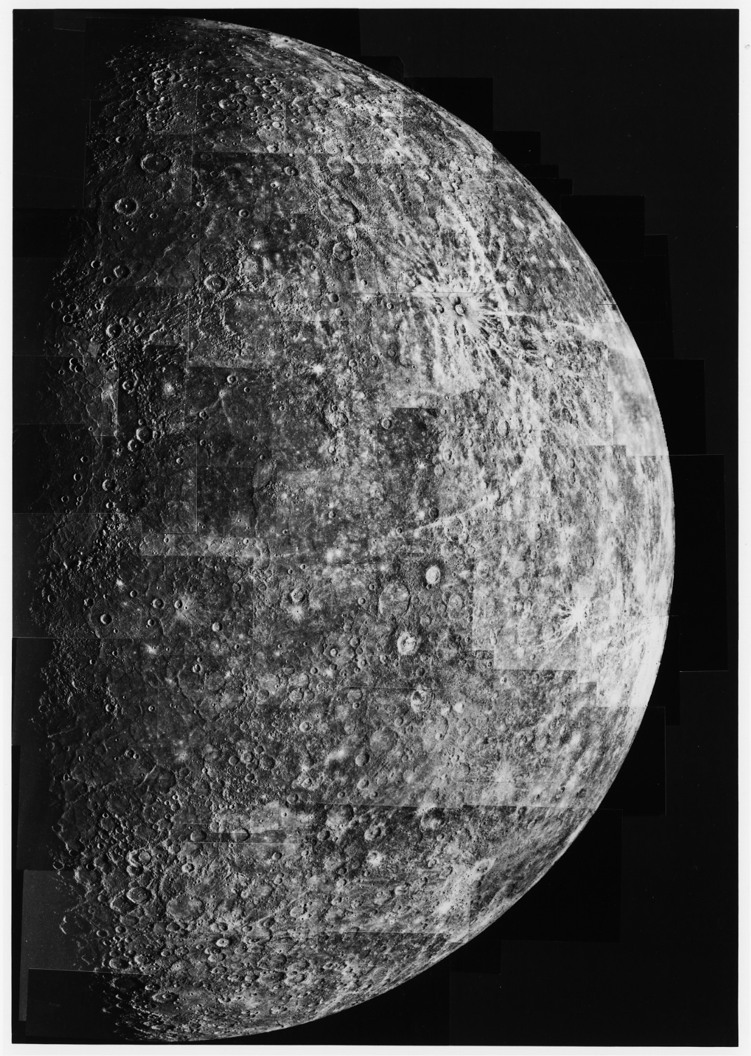
TOPIC: Mercury
|
|||||||||||||||||||||||||||||||||||||||||
|---|---|---|---|---|---|---|---|---|---|---|---|---|---|---|---|---|---|---|---|---|---|---|---|---|---|---|---|---|---|---|---|---|---|---|---|---|---|---|---|---|---|---|
|
L

|
|
|||||||||||||||||||||||||||||||||||||||||
|
L
|
|
|||||||||||||||||||||||||||||||||||||||||
|
L
|
|
|||||||||||||||||||||||||||||||||||||||||
|
L
|
|
|||||||||||||||||||||||||||||||||||||||||
|
L
|
|
|||||||||||||||||||||||||||||||||||||||||
|
L
|
|
|||||||||||||||||||||||||||||||||||||||||
|
L
|
|
|||||||||||||||||||||||||||||||||||||||||
|
L
|
|
|||||||||||||||||||||||||||||||||||||||||
|
L
|
|
|||||||||||||||||||||||||||||||||||||||||
|
L
|
|
|||||||||||||||||||||||||||||||||||||||||
|
||||||||||||||||||||||||||||||||||||||||||


|
|
||
