* Astronomy

| Post Info |
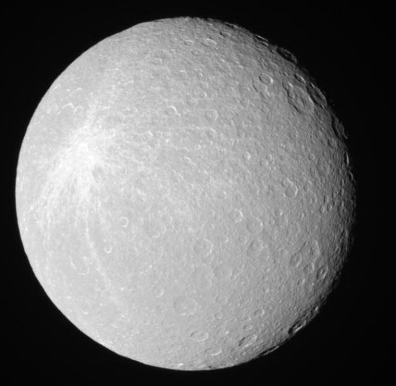
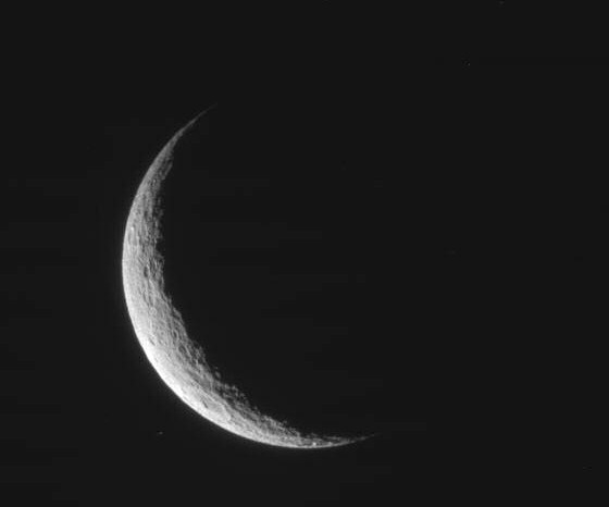
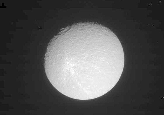
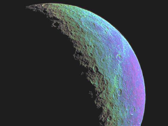
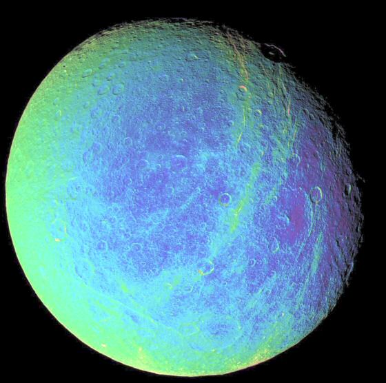
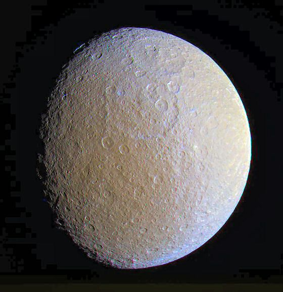
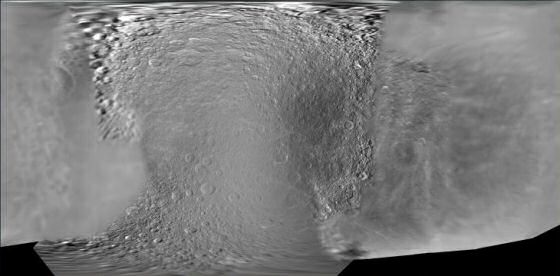
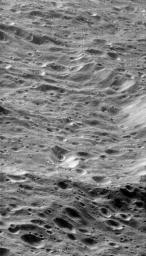
TOPIC: Rhea Spot
|
||||||
|---|---|---|---|---|---|---|---|
|
L

|
|
||||||
|
L
|
|
||||||
|
L
|
|
||||||
|
L
|
|
||||||
|
L
|
|
||||||
|
L
|
|
||||||
|
L
|
|
||||||
|
L
|
|
||||||
|
L
|
|
||||||
|
L
|
|
||||||
|
|||||||


|
|
||
